Information is Beautiful Award
Updated: 2012-09-28 10:15:51
As you know, I was never too fond of awards — until I won two of them in one night :)

 I'm so glad there are people like Jake Porway in the world. The founder and executive director of DataKind gives …
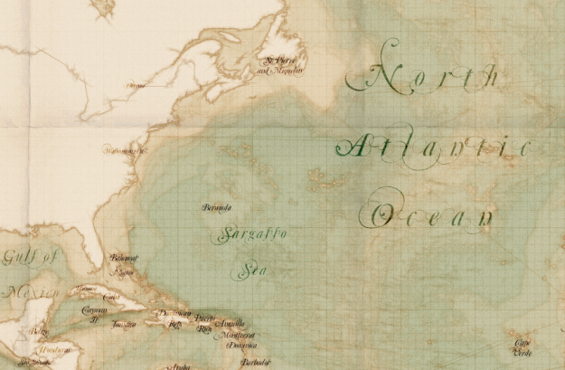 I'm late to this party. TileMill, by mapping platform MapBox, is open source software that lets you quickly and easily …
 During the Olympics, Studio NAND, Moritz Stefaner, and Drew Hemment tracked Twitter sentiment with Emoto. This interactive installation and data …
 Important Information from the InstantAtlas Support Team The issue The recent release of Adobe’s Flash Player version 11.4 included a security change that affects all InstantAtlas Flash reports that access files from another domain. This means that reports that include a layer coming from a Web Map Service (WMS) or ArcGIS Server/Online Service will not [...]
 Census data mapping requires software that is straightforward to work with and at the same time produces reports that are easily understood by a wide range of users with different technical abilities. A number of organisations have chosen InstantAtlas to map Census data and help commissioners ensure local services are delivered in the most cost-effective [...]